Hello, I have a project in which I want to recreate 4 places to how they were in 1940 and the first map will be Luxembourg. I’m new in godot so I’m trying to understand everything that I’m doing. I made the exr file in blender and it’s 32 bit, the resolution is 3000x3000 pixels. I installed the Terrain3D addon, went to import and filled the fields but when I went to the terrain3d node it’s just flat no matter how far I go. I don’t know if I’m missing anything, or that I’m just dumb. I would appreciate any help, thanks for reading.
That looks like a Blender screenshot – are you sure the .exr file has the height data you expect? Verify the file in Krita or another app that can read .exr.
I verified it and it has the height data needed, I solved it while the post was pending for review . I didn’t put the R16 size correctly but now’s fixed, I’ll test different resolutions because I want to have some detail for the landscape (even though the project is low poly) but I don’t think godot will handle 4 24k x 24k pixel resolution images . I still have to figure out how many regions I want, from the 24km only 4km are for out of bounds so the map doesn’t cut suddenly. I’m sure I’ll ask other questions on the forum but that will be when I have some proper models for exploring the map, thanks for checking. Have a good day hatmix.
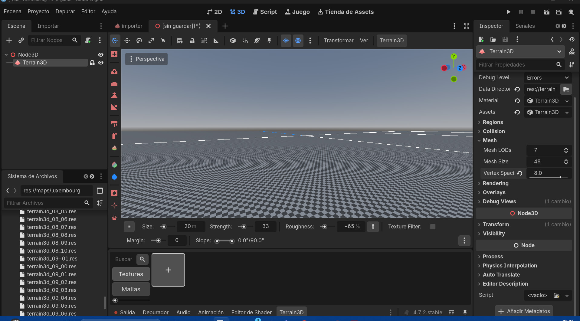
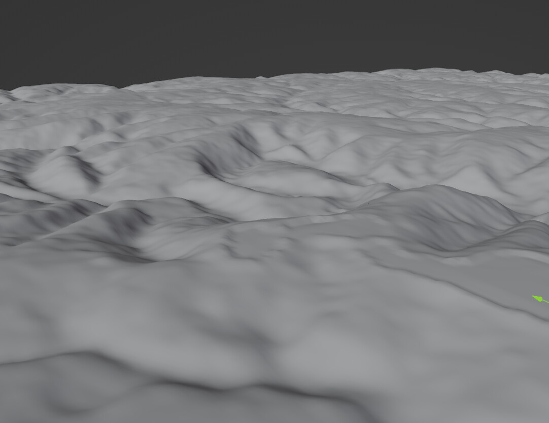
 . I didn’t put the R16 size correctly but now’s fixed, I’ll test different resolutions because I want to have some detail for the landscape (even though the project is low poly) but I don’t think godot will handle 4 24k x 24k pixel resolution images
 . I still have to figure out how many regions I want, from the 24km only 4km are for out of bounds so the map doesn’t cut suddenly. I’m sure I’ll ask other questions on the forum but that will be when I have some proper models for exploring the map, thanks for checking. Have a good day hatmix.
