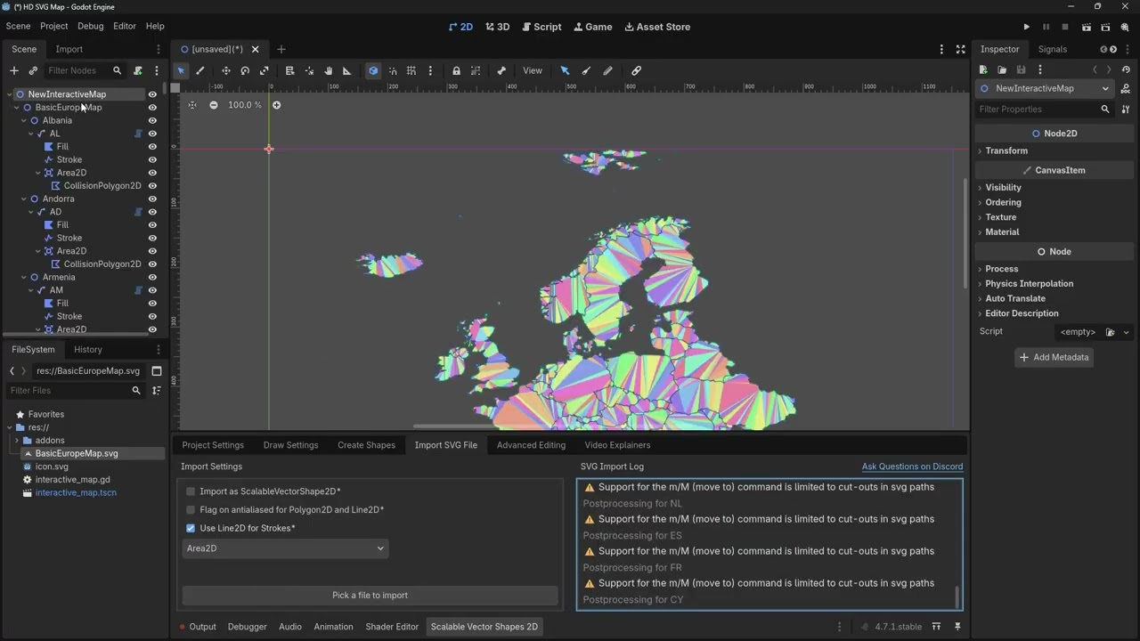
Because it took so long to merge all these pixels I decided why not showcase how you can load a vector based map of Europe (not super hi-poly, mind you, there are limits) into Godot, the same way as OP’s inspirational video did with a color-coded PNG file.
So here’s the result…
Download the example project from codeberg:
Let me know what you think!
Read up a little more on how it works here:
(yup, I did notice the one error message about the one CollisionPolygon2D not wanting to triangulate… I’m still looking for it )
 )
) .
.